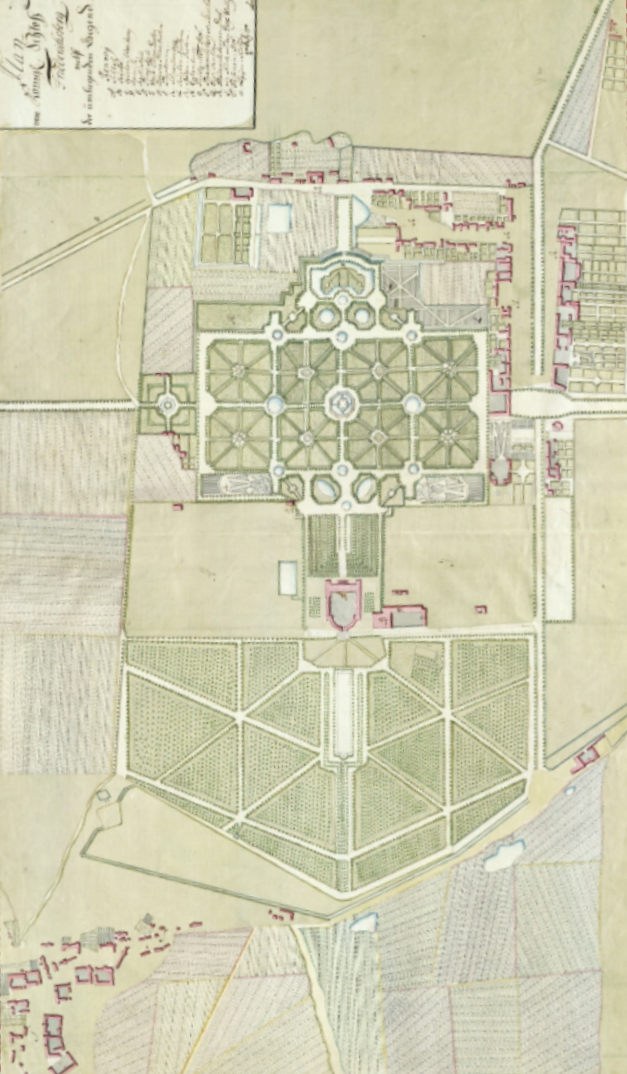
1695
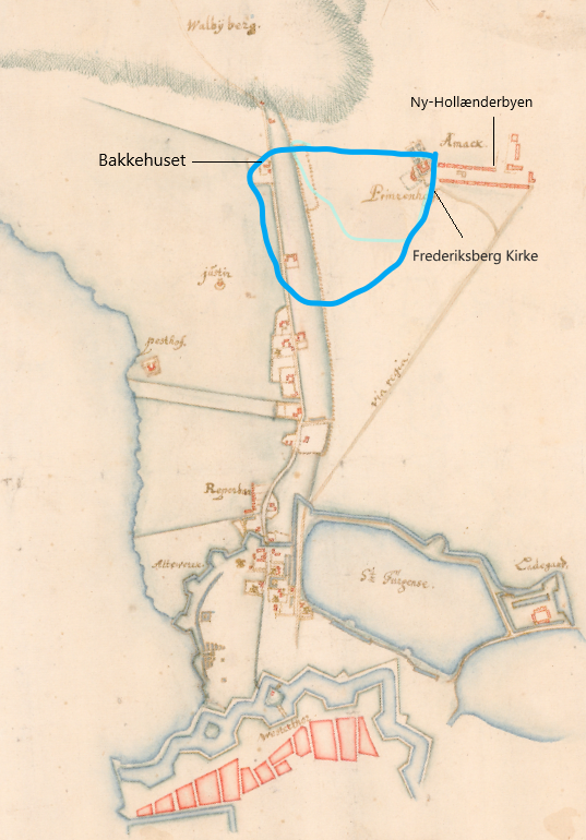
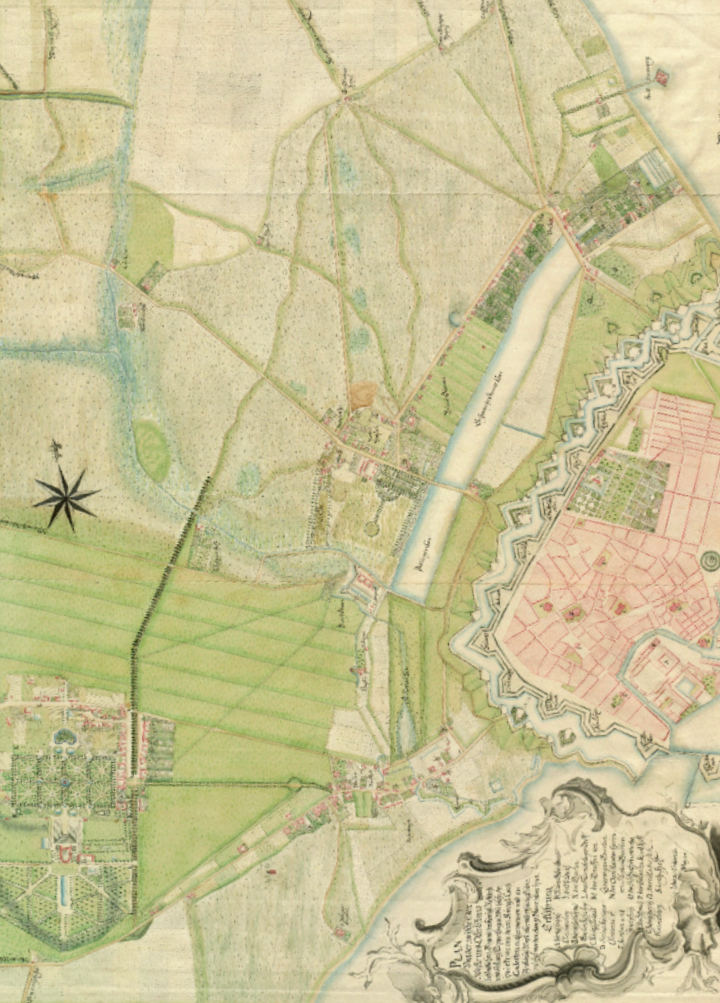
Early illustration of Frederiksberg.
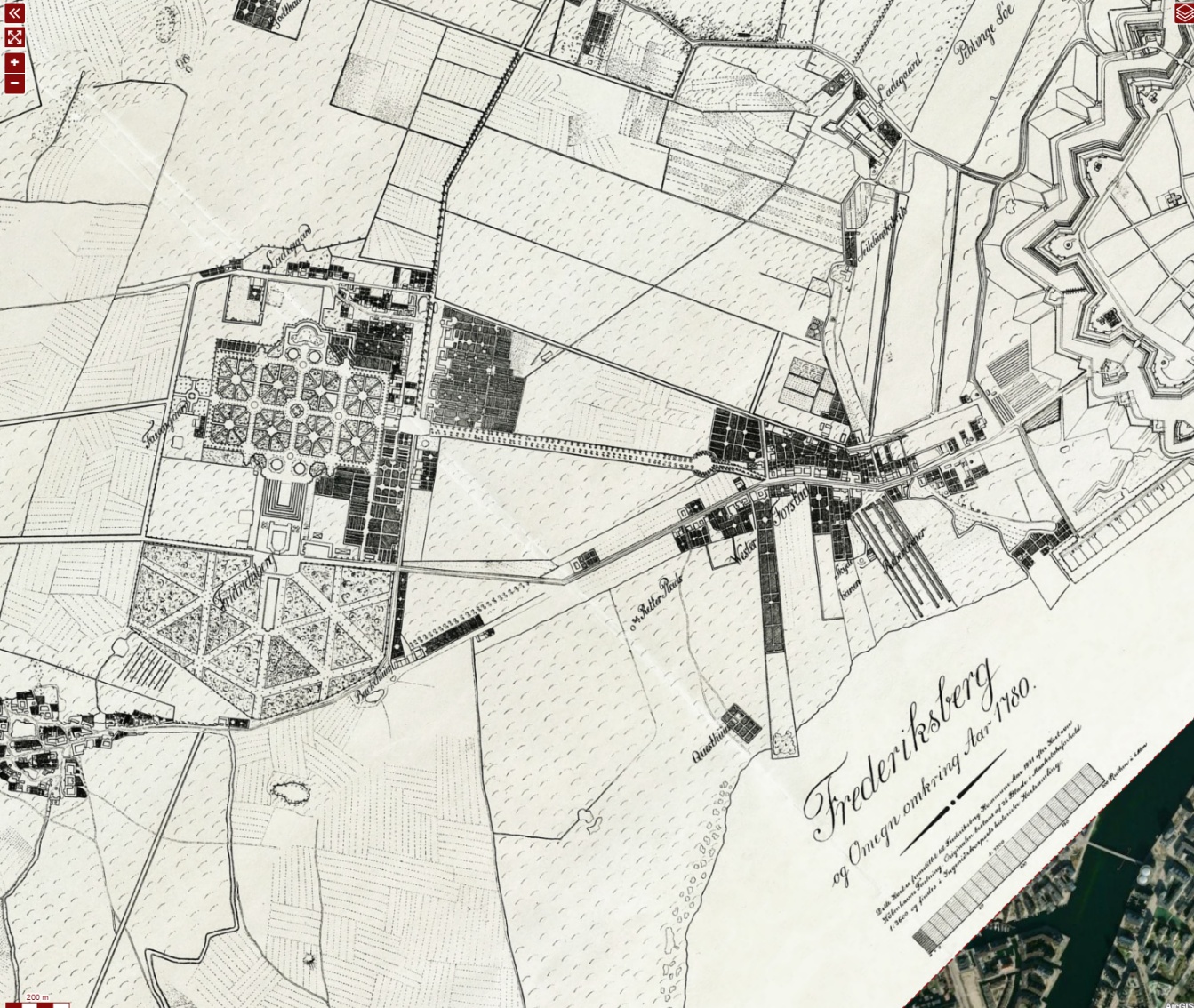
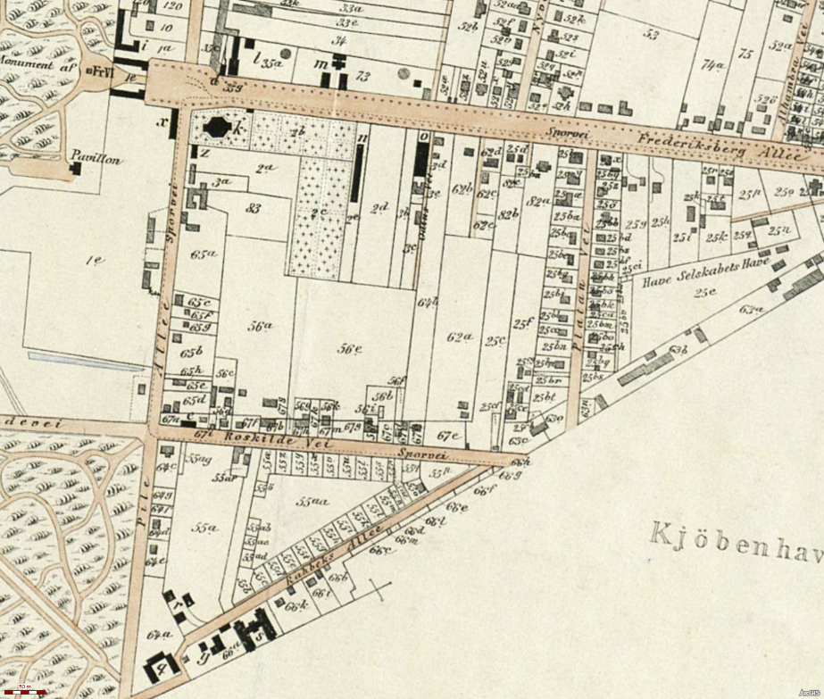
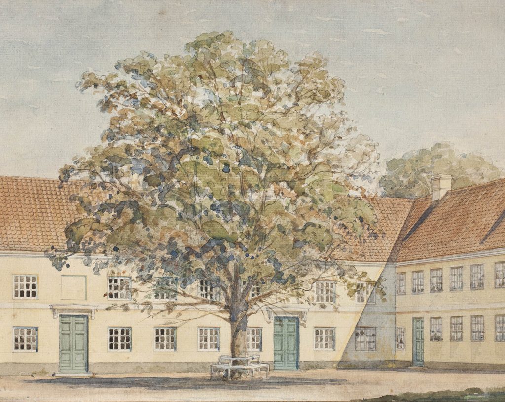
Bakkehuset is considered Frederiksberg’s oldest building, erected around 1674. Close to Bakkehuset at that time lay the country road to Roskilde, and for many years the house was used as a roadside inn. When the road was rerouted in 1776 to continue over Frederiksberg Bakke past Frederiksberg Palace, it was no longer profitable to run an inn. Instead the house was rented out to summer guests.
Ny-Hollænderbyen was founded in 1651 when King Frederik III allowed 20 Dutch farmers from Amager to build farms here — 10 on each side of the road.
The road was called Hollændergaden.
The wooden houses and farms burned down on several occasions.
The land was later used for country houses and then for urban development.
The road was renamed Allégade in the early 19th century.
Allégade is Frederiksberg’s oldest street.
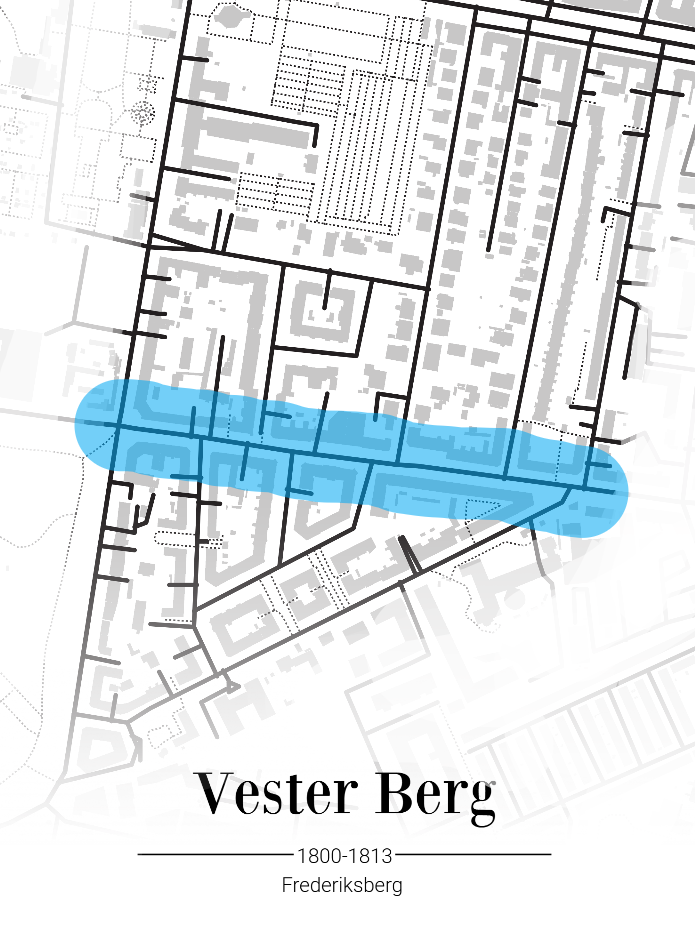
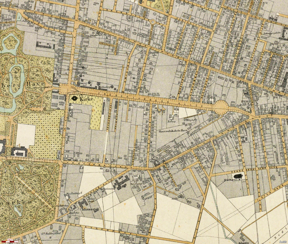
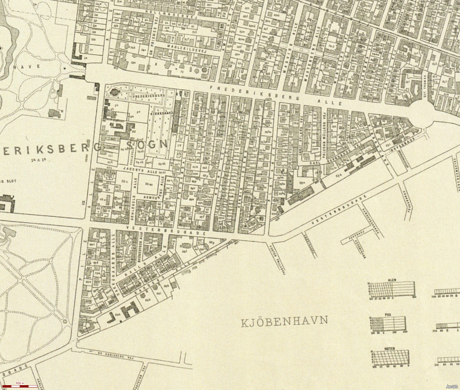
The area marked in blue illustrates roughly where Vester Berg Neighbourhood was later established.
Frederiksberg Church was built in 1732–1734 for the Protestant congregation in Ny-Hollænderbyen. Christian VI attended the consecration. Adjacent to the church is Frederiksberg Ældre Kirkegård. Among others, Sigbjørn Obstfelder is buried there.
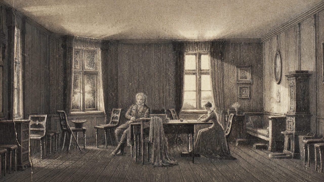
Bakkehuset
Bakkehuset’s location was ideal for rural summer stays, which became fashionable among the cultured and wealthy bourgeoisie in the 18th century. With its rural setting on the hill and a fine view over the surrounding landscape, Bakkehuset was regarded as a refuge from the busy, crowded city life behind Copenhagen’s ramparts.
In 1780 Knud Lyne Rahbek moved in as a summer guest, and in 1787 he became a permanent tenant. When he married Kamma Heger in 1798, they moved into his small bachelor flat. In 1802 Rahbek bought the whole of Bakkehuset, and the couple moved down into the larger apartment on the ground floor of the main wing, where their historic rooms can still be experienced today. Over the next three decades Bakkehuset developed into an epicentre of Danish literary and cultural life.
The museum is established
After the deaths of Kamma and Knud Lyne Rahbek, Bakkehuset was sold and went through a changeable period, including use as a “Helbredelsesanstalt for idiotiske, svagsindede og epileptiske Børn” (an institution for children with disabilities). At the beginning of the 20th century Bakkehuset was badly worn, and two of the four wings had been demolished.
In 1903 permission was granted to show a small exhibition on the ground floor focusing on the Rahbek couple. The exhibition renewed interest in Bakkehuset’s historical importance, and work began to establish a museum. This succeeded, and on 3 June 1925 the museum was inaugurated as “Bakkehuset. De Rahbekske Mindestuer”. The museum originally consisted of four rooms on the ground floor, but has since been expanded several times. In 1935 the historiographer Louis Bobé donated Bakkehuset to Frederiksberg Municipality, and in 1954 Tove Clemmesen, curator at the National Museum, redecorated the historic rooms.
In 2013 Bakkehuset became part of Frederiksbergmuseerne and has since been revitalised and reinstalled. In 2017 the historic garden was inaugurated together with the octagonal orangery.
Read more about the history here
The Dutch families
When King Frederik III forcibly relocated 20 Dutch farming families from Store Magleby on Amager to the new fields at Frederiksberg in 1651, he met strong resistance. The farmers simply failed to appear at the official handover, as they did not consider the land good enough.
The families who eventually settled and built the 20 farms along Allégade brought their characteristic Dutch family names with them.
Many of the names can still be traced in Danish cultural and local history:·
Dirchsen (or Ditlesen): One of the most dominant families in the colony. The name Dirch (and the woman’s name Dirchsken) was used extensively for generations. The actor Dirch Passer (who was in fact of old Amager lineage) got his first name from this tradition.
Jansen / Jan: A widespread family in which the name was passed down for generations according to the Dutch patronymic system.
Corneliussen: Another prominent family among the original farm owners.
Crillesen (or Grillesen): The name comes from the Dutch Cornelis or Chrilles, which was Danishised over time.
When Ny-Hollænderbyen burned in 1697, the farmers finally abandoned Frederiksberg. They applied for permission to move back to Amager, which they received in 1699.
Entertainment hub
From farming village to entertainment hub (19th century)
After the Dutch left, the king did not rebuild the town. Instead King Frederik IV had Frederiksberg Palace and Frederiksberg Have built.
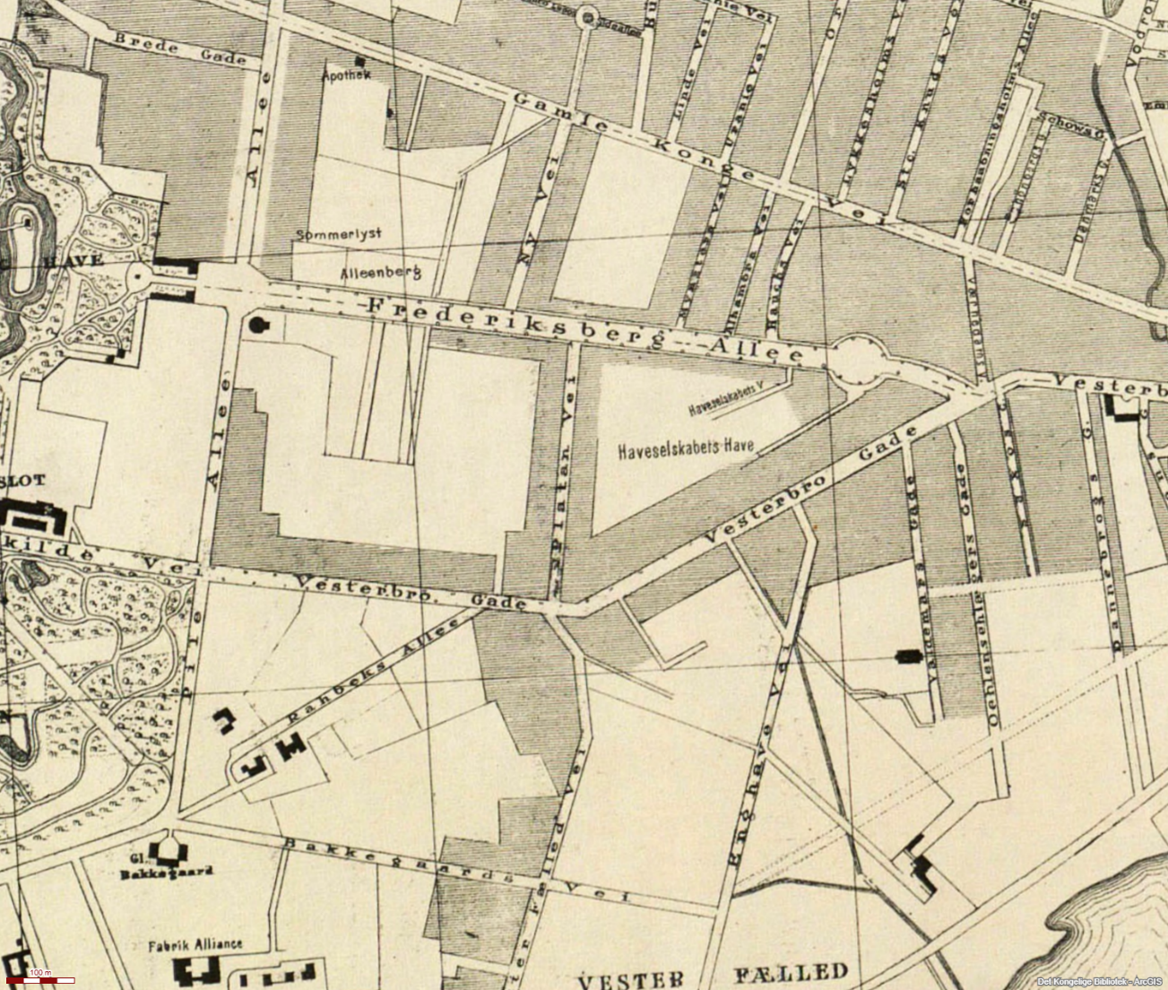
Allégade was turned into an elegant approach road to the palace, and the king allowed inns (traktørsteder) along the street to serve court guests and the Copenhagen bourgeoisie on outings.
During the 19th century Allégade and neighbouring Vesterbro exploded into a true entertainment hub:
Sommerlyst and Alleenberg: The old royally privileged inns grew into huge amusement gardens. There were singer pavilions, bowling alleys, carousels and outdoor concerts. Citizens flocked there in horse-drawn carriages (the so-called coffee mills) to drink coffee and punch in the green.
Theatre street: Allégade quickly became synonymous with popular theatre culture. The most famous was Mors-Teater (later Frederiksberg Teater). It was here that popular revue and early variety really found their audience.
The Lorry complex: In 1896 restaurateur Lorry Feilberg bought the old inn Café des Allées. He turned it into a giant entertainment empire inspired by Paris. The complex came to include:
Landsbyen: A singer pavilion arranged as an idyllic German half-timbered village.
Drachmann–Kroen: An artists’ brasserie named after the poet Holger Drachmann.
Riddersalen: An establishment with theatre and revue that still operates as an active theatre today.
Where people in the 17th century met hard farm work in Ny-Hollænderbyen, in the 19th century they met entertainment, music, theatre and beer under the large ash and lime trees.